- ache,
Bonjour,
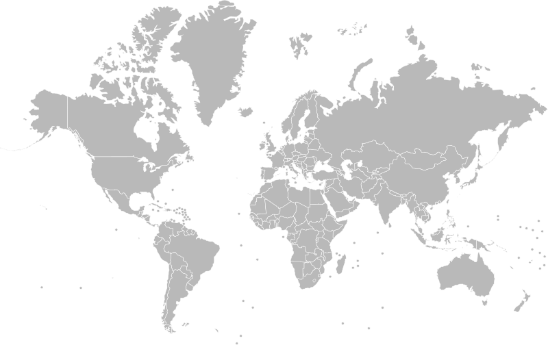
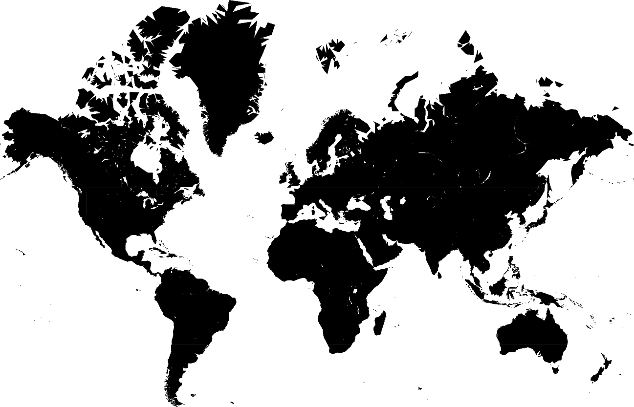
J’essaye d’obtenir une carte avec la latitude et la longitude depuis une carte de la terre issue de la projection de Mercator.
Pour la longitude, bon c’est pas tout à fait exacte mais grosso modo c’est pas l’idée. Pour la latitude par-contre, on est loin du compte, c’est pas bon du tout.
Vous auriez une idée de comment je peux m’y prendre ?
<!doctype html>
<html lang="fr">
  <head>
    <meta charset="utf-8">
    <meta name="viewport" content="width=device-width, initial-scale=1">
    <title>Canva earth</title>
  </head>
  <body>
    <h1>Test sphere</h1>
    <canvas id="canvasIn" width="800" height="500"></canvas>
    <br>

    <label for="x"> <input type="number" value="0" id="x" readonly>
      Absice
    </label>
    <label for="y">
      <input type="number" value="0" id="y" readonly>
      Ordonnée
    </label>
    <br>

    <label for="lon">
      <input type="number" value="0" id="lon" readonly>
      Longitude
    </label>
    <label for="lat">
      <input type="number" value="0" id="lat" readonly>
      Latitude
    </label>
    <br>

    x
    <input type="number" value="0" id="bX" readonly>
    y
    <input type="number" value="0" id="bY" readonly>
    z
    <input type="number" value="0" id="bZ" readonly>
  </body>
  <script>
    var img = new Image();
    img.src = 'http://localhost:8080/merca.png';
    img.onload = function() {
      draw(this);
    };

    var sphere = [];

    function getLongitude(x) {
      x %= 800;
      return (x-400)/400*180;
    }
    function getLatitude(y) {
      const tmp = ((2*Math.atan(Math.exp((y+20)/500)/1.))-Math.PI/2)*3;
      return (180 - tmp * 180 / Math.PI) - 90;
    }
    function getColatitude(y) {
      return 90 - getLatitude(y);
    }

    function getXYZ(x, y) {
      const long = (90 - getLongitude(x))/180*Math.PI;
      const lat = getLatitude(y)/180*Math.PI;
      const r = 120;

      const X = r * Math.cos(lat) * Math.cos(long);
      const Y = r * Math.cos(lat) * Math.sin(long);
      const Z = r * Math.sin(lat);
      return {'x': X, 'y': Y, 'z': Z};
    }

    function draw(img) {
      var canvasIn = document.getElementById('canvasIn');
      var ctx = canvasIn.getContext('2d');
      ctx.drawImage(img, 0, 0);
      img.style.display = 'none';
      img.src = '';
      img.crossOrigin = 'anonymous';

      var coord = function(event) {
        const x = event.offsetX;
        const y = event.offsetY;

        const X= document.getElementById('x');
        const Y = document.getElementById('y');

        const lon = document.getElementById('lon');
        const lat = document.getElementById('lat');

        X.value = x;
        Y.value = y;

        lon.value = getLongitude(x);
        lat.value = getLatitude(y);

        const bX = document.getElementById('bX');
        const bY = document.getElementById('bY');
        const bZ = document.getElementById('bZ');
        const pt = getXYZ(x, y);
        bX.value = pt.x;
        bY.value = pt.y;
        bZ.value = pt.z;
      };

      canvasIn.addEventListener('mousemove', coord);
    }
  </script>
</html>
L’essentiel du calcul est ici:
function getLongitude(x) {
  x %= 800;
  return (x-400)/400*180;
}
function getLatitude(y) {
  const tmp = ((2*Math.atan(Math.exp((y+20)/500)))-Math.PI/2)*3;
  return (180 - tmp * 180 / Math.PI) - 90;
}
function getColatitude(y) {
  return 90 - getLatitude(y);
}
Les constantes sont des tentatives de coller au plus juste aux coordonnées de la carte mais j’ai conscience qu’elles ne devraient pas être là.
On devrait plutôt avoir:
function getLatitude(y) {
  const tmp = ((Math.atan(Math.exp(y/400)))-Math.PI/2);
  return (180 - tmp * 180 / Math.PI) - 90;
}
Mais ça ne colle pas du tout aux coordonnées, il y a quelque chose que je loupe ?!
Edit: J’utilise une image de Wikipédia.

+0
-0


